Sistema de Pronóstico Atmosférico de la Península de Yucatán (PYcast): módulo Kauil
Table of Contents
Versión: beta (01032026)
Products
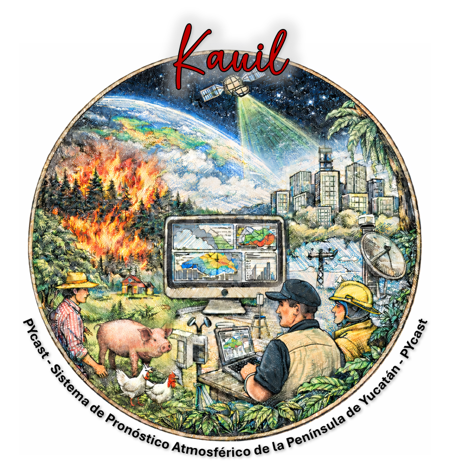
PYcast Kauil uses global environmental technology (e.g. satellites) and atmospheric modelling systems to define possible wildfires. Each wildfire is used to compute its dispersion plume over a region, and then a pollution hot-spot can be observed. The system assume that all satellite detections are active wildfires, but some detections can also be related with human activity or just thermal anomalies (not related with wildfires). If you want to know more about PYcast-Kauil, contact us (see Questions and Feedback).
PYcast-Kauil generates two products related with surface pollution hot-spots and dispersion plumes:
(i) 24 h accumulation; useful to see the pollution hot-spots in a daily basis.
(ii) surface dispersion plumes and pollution hot-spots (every 3 h) in combination with the meteorological conditions of the region.
PYcast-Kauil products cover a 4-day forecast and the spatial extent and resolution corresponds to PYcast domain D02 (~5 km). See below the coverage area of PYcast computational domains, and the link to visualize Kauil related products.
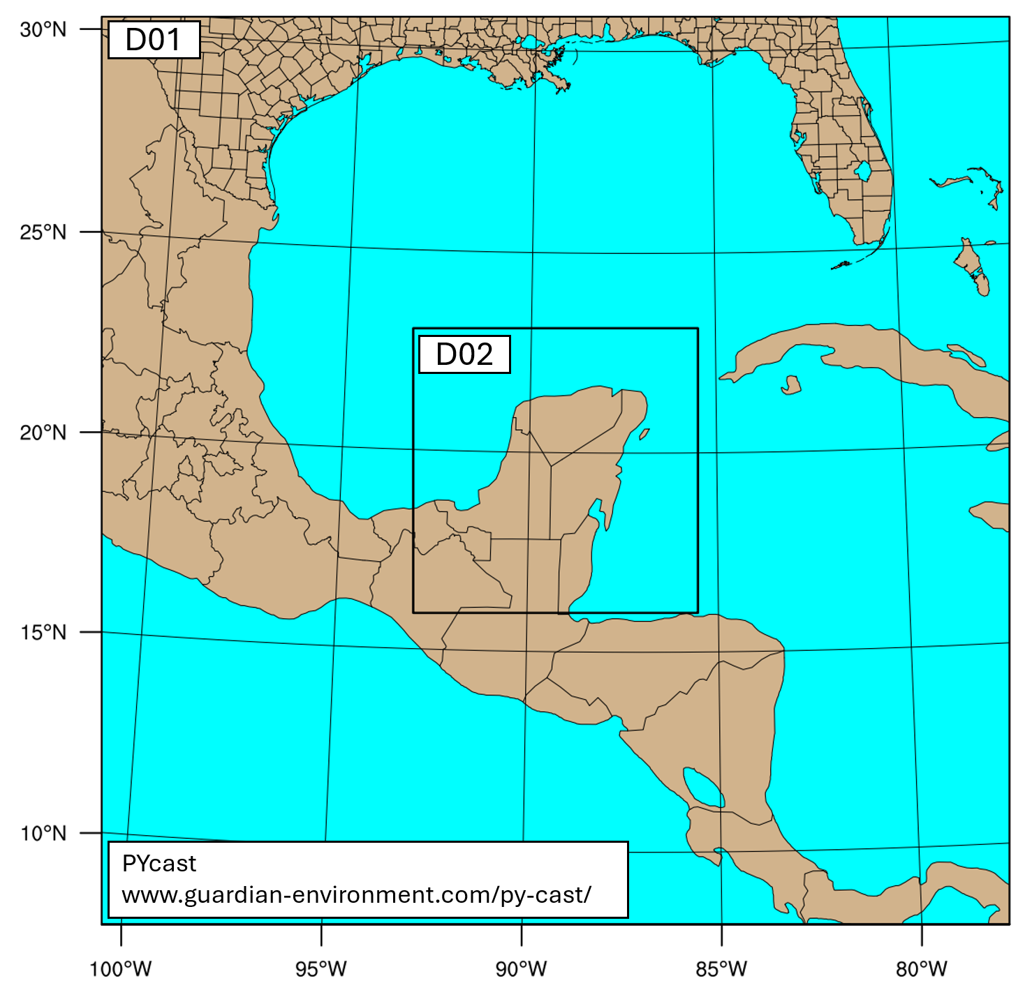
Fig. 1. PYcast computational domains.
<< 4-day forecast >>
D02 available outputs:
Message for users
Opportunities
If you want to be part of the PYcast Team, we have postgraduate opportunities available. Check below the programs:
o Master in Earth Sciences (Campus UNAM Yucatán).
o Master in Sustainability Sciences (Campus UNAM Yucatán).
o Master in Marine Sciences and Limnology (Campus UNAM Yucatán).
Questions and Feedback
If you have any questions or feedback about PYcast-Kauil, please let us know.
Dr. Juan de la Cruz Zavala
email: juan.zavala@enesmerida.unam.mx
Earth & Environment Sciences | Atmospheric monitoring & modelling | Computational Fluid Dynamics
Universidad Nacional Autónoma de México (UNAM)
Escuela Nacional de Estudios Superiores – Unidad Mérida
Matemáticas Aplicadas, Computación y Geociencias
Acknowledgments
Thanks to bring access to data and numerical models (NASA, NCAR, NOAA), and facilities (ENES Mérida) to generate and run the Kauil module